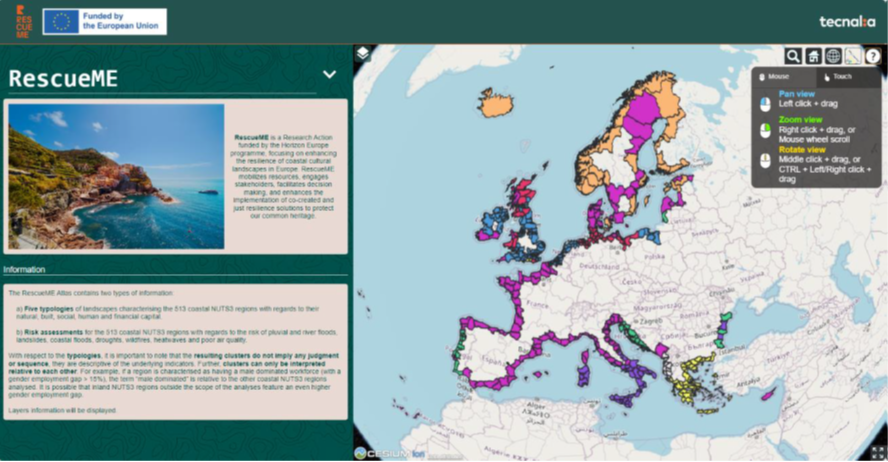
Screenshot of the RescueME ATLAS
RescueME Atlas
The RescueME ATLAS of European coastal cultural landscape typologies and climate change impacts is an interactive online visualization tool that presents knowledge generated in the first phase of the RescueME project in a user-friendly interface. It aims to be an entry point of decision making by showing the territorial typologies for cultural landscapes and also the risk assessment, that has been carried out independently for seven climatic hazards (pluvial floods, river floods, coastal floods, landslides, droughts, wildfires, and heatwaves), under several climate change scenarios, and for one non-climatic threat (poor air quality). The analysis covers 513 European coastal NUTS3 regions *.
* NUTS stands for “Nomenclature of territorial units for statistics“, the EU classification to reference countries’ regions for statistical purposes. There are three NUTS levels, NUTS 1 (major socio-economic regions), NUTS 2 (basic regions for regional policies) and NUTS 3 (small regions for specific diagnoses).
Screenshot of the RescueME ATLAS